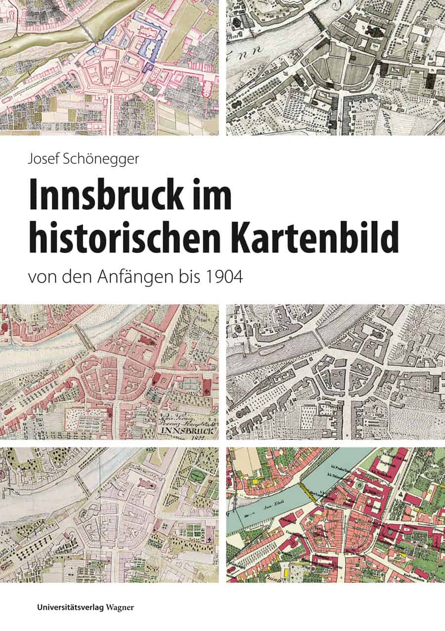
Innsbruck im historischen Kartenbild (Großformat)
from the beginnings until 1904
39,90 €
| This richly illustrated publication by Josef Schönegger tells, on the one hand, the history of the creation of historical map series in the area of the municipality of the Tyrolean capital Innsbruck and shows, on the other hand, the comprehensive cartographic representation of the city's development until the beginning of the 20th century. In doing so, the author concretely traces the unfolding of the city in the most important phase of its existence and presents the chronologically ordered development of streets and districts on the basis of the plans and maps of that time. This is the first comprehensive work on the urban development of Innsbruck based on historical maps, which is unique in Austria in its richness of detail. |
| Authors | Josef Schönegger |
|---|---|
| Series | Neue Folge |
| Volume | 60 |
| Pages Count | 412 |
| Release Date | 2018 |
| ISBN | 978-3-7030-0972-3 |
| Publisher | UVW |